detouring from the alcan
from whitehourse, yukon to skagway, ak was a great decision. the drive took us east ~15 miles to the intersection of the klondike highway (they
call highways up in these parts by names, not by number) then south ~100 miles to skagway.
what a glorious ride…wow…there
is an option to take the yukon/white pass tourist train ½ way from whitehorse to skagway and return by bus (or vice versa), but we chose to drive and camp in skagway.
we passed gorgeous lakes--spirit,
emerald, rat, bear, kookatsoon, tutshi and tagish and others, many of those being part of
the lake system from riverboats to steam ships taking hopeful miners to the yukon
and klondike during the gold rush of 1898.
–a bit of history here…gold
was discovered in 1896 in the klondike river and 100,000s of hopeful prospectors headed north. most traveled either through skagway or nearby dyea and had to cross either white pass
(elevation 4,500ft)—higher but supposedly less steep, or the chilkoot trail (elevation
3,500ft--the famous photos of men carrying their goods up the steep but shorter
route). canadian mounties told all
hopeful miners that if they wanted to travel through their territory they had
to take a years worth of provisions with them…if you have not seen the photos,
do an internet search of the chilkoot trail and check them out…it was an
incredible journey…and of those 100,000s of hopefuls who tried to make the trek
only a few hundred made it to the klondike and found gold. that famous gold rush only lasted 2 years.
we passed the desert (yes, i said desert!!) of the
mountains near carcross, yt. carcross is
named by the tlingits (native people who have lived in this area for 1000s of
years and still do)—pronounced ‘clink-its’.
the name carcross is a shortened version of caribou crossing as the
tlingits used to hunt the many caribou who crossed here.
 |
| heading south towards skagway |
 |
| a desert out in the middle of the mountains... |
 |
| the small village of carcross |
 |
| one of the many lakes along the klondike highway |
 |
| a moonscape view from the top of white pass |
we made our way down the
14-mile steep pass into the touristy town of skagway.
skagway is at the north end of southeast alaska on the inside passage. this sleepy little town of 900 doubles in
size in the summer to accommodate for the 300+ cruise ship visits during the
summer months. the town is full of gold/jewelry stores, souvenir shops and eateries. much of the downtown is now part of the klondike gold rush national historical park, preserved and run by the park service. there are numerous free films and walking tours that we took part of.
 |
| yipee, we made it!!! |
 |
| steep, steep |
 |
| tlingit guide for a prospector memorial |
 |
| the yukon/white pass railroad, 12.9 ton snowplow to plow the pass, retired after 65 years and traveled 181,000 miles in 2,580 trips |
 |
| downtown skagway |
 |
| a replica of one of the many bars in skagway with cigar bar, stuffed animals and all |
 |
| cruise shippers invading skagway |
 |
| look at the cruise ship at the end of broadway (main street)! |
 |
| out our door while camping--port and marina of skagway |
 |
| two cruise ships in port |
 |
| touring skagway |
we decided to take a ferry
to haines instead of backtracking and what a lovely ferry ride after 2+ days in skagway.
 |
| waiting for the ferry |
 |
| our ferry |
 |
| one of the many cruise ships leaving skagway |
 |
| looking back at skagway |
 |
| just beautiful |
haines is only an hour
away from skagway by ferry, but oh so different. it does not get the amount of cruise ship
business and the town is much more of a real working town, instead of a touristy
hotspot. this little town with an annual
population of 1,800 gets my vote as one of thee most charming we’ve visited in
a long time.
haines has been long inhabited
by tlingits, has one of the state’s 1st army bases, fort william seward, which is now a national historic
site. the chilkat and chilkoot rivers
support the town’s fishing industry. the american bald eagle preserve is located here as the worlds largest eagle
gathering happens every fall where 3-4,000 eagles can be found feeding on the
salmon running, and the ever beautiful davidson glacier is a gorgeous backdrop
to the town.
 |
| haines |
 |
| haines marina |
 |
| davidson glacier |
 |
| chilkat river |
the drive out of alaska and up the haines highway back to the alcan was
just as lovely as the klondike was descending into alaska…
 |
| meandering along |
 |
| it's downhill now...about 3,500ft |
we wanted to show you 3 black bears we saw all within about an hour of each other...look how different in color and size
 |
| a gorgeous black bear (brown color) eating dandelions |
 |
| the same bear |
 |
| now check out this black bear--really black! AND HUGE! |
 |
| and now look at this black bear who is blonde! |
 |
| the same bear again munching on dandelions |
amazing how different black bears can be, eh?
we rejoined the alcan
highway at haines junction (not a very interesting town), about 153 miles west of whitehorse. after topping up with 1.40/liter (or 5.29/canadian$/gal which is roughly the same in us$) of diesel, we continued again towards alaska, this
time to the mainland via kluane lake (where we camped in a lovely lakeside
campground) which is the largest lake in the yukon.
 |
| kluane lake |
 |
| camping along kluane lake--look how dirty our van is |
 |
| our view |
 |
| kluane lake |
more views along the alcan
 |
| mama and baby moose running from the water |
 |
| mama keeping her babies close |
 |
| in texas we have tires on our roofs... |
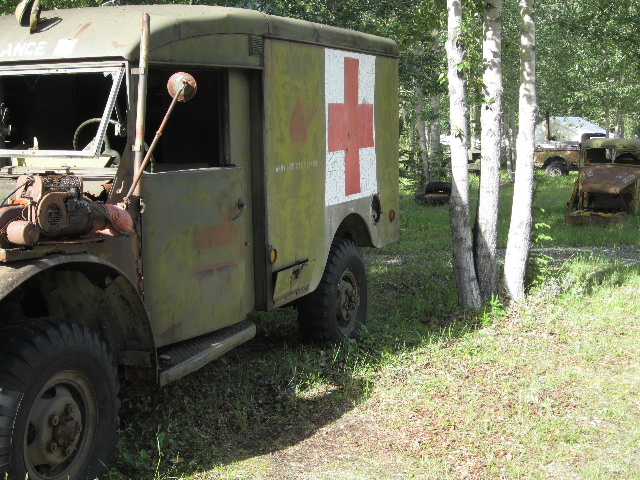
one of the campgrounds along the route is home to a collection of vintage equipment used in the construction of the alcan which we found interesting...
the roads have been,
overall, very good with very light traffic…we have pulled over a number of times
while driving to take photos and/or observe wildlife and have stayed for 15-20 minutes and have
not seen another vehicle in either direction. we normally drive 55-60 mph and are getting about 23 mpg with our rig. we are very happy about that. gas, diesel, food and lodging (camping or other) have been readily available the entire way. there are long stretches of vast wilderness, but often enough there are roadhouses or towns to equip most travelers (even cyclists--of which we have seen a number of them, though not many).
we are crossing into the mainland of alaska on the 13th of july and are excited we have made it this far. we have met some nice travelers (we feel that we are some of the youngest as this is a retiree's dream) along the route, some heading in our direction, some already heading south. the ones returning south (and not all of the tourists we've met are american--we've met canadians, europeans, australians and kiwi's as well) are so ready, as this has been a cold, windy, rainy and grey start to summer 2012. we just read yesterday that anchorage has experienced their coldest june on record (oh great!)...let's hope july is better...we're heading there soon.
thanks for following and fyi, i have made it easier to comment if you would like. stay tuned for 'the last frontier'...coming soon!


great blog
ReplyDeletehi honey, i mean aly. great blog. you must have loving help from you wonderful, handsome hubby. but could you buy him a new sweat shirt, we're tired of seeing the yellow one. love anonymous
ReplyDeletevery interesting and excellent photos. Thanks. Ralph in Portland
ReplyDelete