we've been on the road for over 2 months and our journey has been incredible as we hope our photos symbolize. we
have been very lucky with the weather and have only had a couple of
rainy days since we left home on may day. the days are very long, with
roughly 19 hours of daylight and daytime highs have been in the 60s-70s
and eves as low as 40s.
we
are now heading up the alcan highway, seemingly the real start towards alaska. for those of you who may not know the history of the
alaska-canadian highway, here is a brief synopsis.
the
alcan highway was constructed during ww2 for the purpose of connecting
the lower 48 with alaska for protecting the homeland, (particularly after the japanese bombed pearl
harbor and dutch harbor in the aleutian islands in alaska). the approval was given by the canadian government in early 1942, but it was 7 battalions of
the US army corps of engineers who built the ~1,400 mile road, completing the
feat in 8 short months. the photos of the construction are astounding if you've never seen them. do an internet search and view some of them...they are really remarkable. the US paid for the construction and luckily it was never needed as a protection route so the road opened to tourists in 1948.
here
is our interpretion of what we have been seeing in the past 5 days,
covering 873 miles, from dawson creek, british columbia to whitehorse,
yukon teritory, canada.
 |
| the beginning |
 |
| rigs heading to/from alaska at the visitor center in dawson creek |
 |
| downtown, dawson creek, replicating the old days |
 |
| on the road |
 |
| Kiskatinaw bridge, this is the only original timber bridge remaining on the highway (this segment has been re-routed--you can drive across but normal traffic bypasses this bridge) |
 |
| low temps could cause freezing roads, interesting signage |
 |
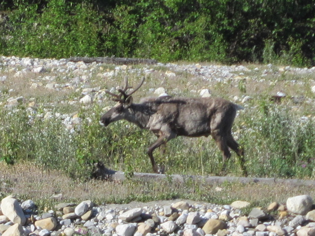
| our 1st caribou |
 |
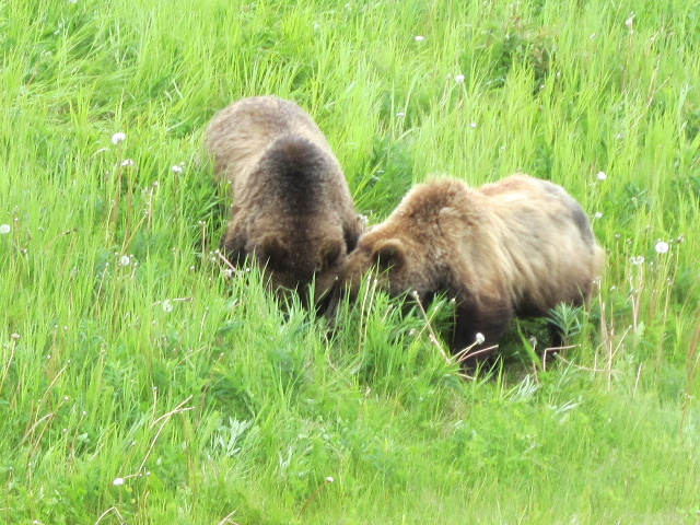
| grizzly cubs grubbing for ???? |
 |
| this is how greyhound travels up this way--with trailer |
 |
| the alcan highway |
 |
| when they say 'extreme dust', they mean it..(a segment of road construction) |
 |
| an old roadhouse, tetsa river services (we camped here) |
 |
| bumpy road ahead, slow down in english and french |
 |
| stone mountain |
 |
| summit lake at 4,250 ft |
 |
| stone sheep--closely related to bighorn and dall sheep |


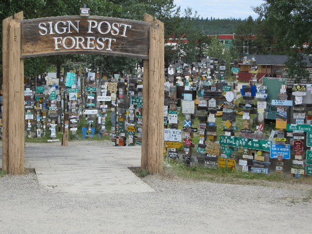


I think muncho Lake is beautiiiiful! Would really like to go through sign post forrest, the foal was precious and the blog is super.
ReplyDeleteI think this is neat of you and Buddy to do this blog and share the country.
I am thoroughly enjoying!!!!
Oh yes, i could use that Laird Springs every night and the cinnamon bun looked scrumptious, YUM!!!!
Love to all, ml