We left DC, our furthest destination east and north and are headed towards home, taking the long way home (isn't that a Supertramp song?), via the coast, crossing numerous bridges and the inter coastal waterway, took a couple of vehicle ferries, got to spend time with a couple of pals Aly grew up with, and found ourselves spending time by the sea....really lovely...
 |
| Chesapeake Bay Bridge out of Annapolis, MD |
 |
| Chincoteague Island in the distance |
 |
the causeway onto Chincoteague Island where the 1st land grant
was granted in 1651 and the legend of the Spanish feral ponies
still bring tourists in July for the penning of the ponies |
 |
| Chincoteague lighthouse |
 |
| the shallows where the ponies run from Chincoteague |
 |
Wallops Flight Site--one of the oldest rocket launch sites
in the world located in eastern VA |
 |
| Wallops Flight Site |
Sights close to the VA coast
 |
| beautiful corn over 8' tall after the rainy summer |
 |
| sweet potato crops |
 |
| white Crape Myrtle |
 |
| beautiful Crape Mrytle in full bloom lining the back roads |
 |
| Chesapeake Channel Bridge/Tunnel heading to Virginia Beach |
 |
| Virginia Beach Yacht Club |
 |
| 2 die hard Bronco fans--Tina and Aly--friends since Jr High |
 |
Buddy, Aly, Billy and Ava--Billy and Aly spent their
teen years in the same neighborhood |
 |
| Alexia, Sylvia and Julia with Hazel--Billy and Ava's girls |
 |
| Virginia Beach boardwalk |
 |
| the hills where the Wright Brothers made their 1st flights |
Continuing south from Virginia to the outer banks (OBX), 200 miles of barrier islands off the shore of North Carolina separating the Currituck, Albemarle, and Pamlico sounds from the Atlantic ocean. First stop was the Wright Brothers Memorial in Kitty Hawk and Kill Devil Hills, NC.
 |
| the Wright Brothers memorial rock, Kitty Hawk, NC |
 |
| this has been disputed, but for now, it is still recognized |
The Wright Brothers 1st 4 flights delineated by 4 white markers--1st flight, 120' in 12 seconds, the 2nd was 175', 3rd flight 200' and the 4th flight was 852' in 52 seconds...
 |
| flight distances |
 |
| a Wright memorial |
 |
| the Outer Banks of North Carolina |
 |
| both sides of the road was sand and on either side of that was water |
 |
| Buddy swimming at the outer banks in the salty, warm Atlantic |
 |
| the pier at the small village of Rodanthe at the OBX |
 |
| beautiful waves and sky |
 |
| a boogie boarder |
 |
| awwwwww.... |
After camping 1 night along the OBX and having driven 74 miles we came to the tallest brick lighthouse in North America, standing at 208'. It was built in 1870 and with the spiral black and white, is recognized as the international symbol of the North Carolina coast.
 |
| Cape Hatteras Lighthouse |
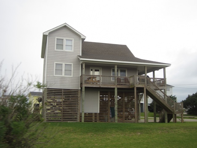
Houses along the OBX
We then took the 30 minute few-mile free ferry to Ocracoke Island...then the 2nd ferry, 2+ hours $30, and 23 miles later...we were back on the mainland
 |
| the free ferry |
 |
| Ocracoke Lighthouse--the oldest operating lighthouse in NC |
Back on the mainland
 |
| buying fresh shrimp for $2.25/lb on the side of the road from Miss Gina |
Historic Beaufort, NC
 |
| Beaufort Courthouse |
After arriving back on the mainland, and again on back roads, we drove down the NC coast through Morehead City, Jacksonville and Wilmington, camped along the way, met some nice folks, cooked up and ate that delicious fresh shrimp and headed to the Southern Coast where that will be our next missive...


No comments:
Post a Comment